When I was city administrator, I made a map
When I started as administrator for a city of 993 people (yes, we were a city under Oklahoma law), I was frustrated trying to make sense of the list of properties the municipal government owned.
I sat down with the list, a town map and a highlighter, deciphered the legal descriptions from the list and highlighted every property we owned on the map. Besides the public parks and municipal buildings, I noticed a large group of empty residential lots near the creek, a few more lots scattered around, and some other fairly large tracts around the edges of town. Then I added properties the county owned in another color. Then the school properties in another color.
When I was finished, I had a much better visual idea of what we owned and how we might put them to work for the community.
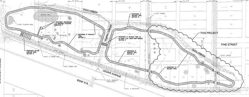
A previous city administrator had commissioned plans and secured funding for a walking/biking trail to be squeezed into a small public park called Elm Park. When I reviewed the plans with the city’s engineering firm, they pointed out that if they went forward as planned, it would feel like we were paving the entire little park.
I started talking to people about what else we could do. We turned to my map for alternative locations.
Just north of the park, the city owned dozens of empty lots from a floodplain clearance project years ago. If we put all those lots together, the city would have enough space to spread out the trail across a larger open greenspace. This would also move the trail closer to the residents in a lower-income part of town. The council agreed to name those empty lots “Elm Park North” and to locate the trail there. The granting agency required some new documentation, but was fine with the minor adjustment from Elm Park to the new Elm Park North.
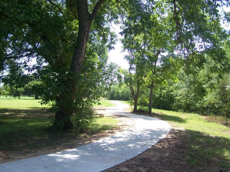

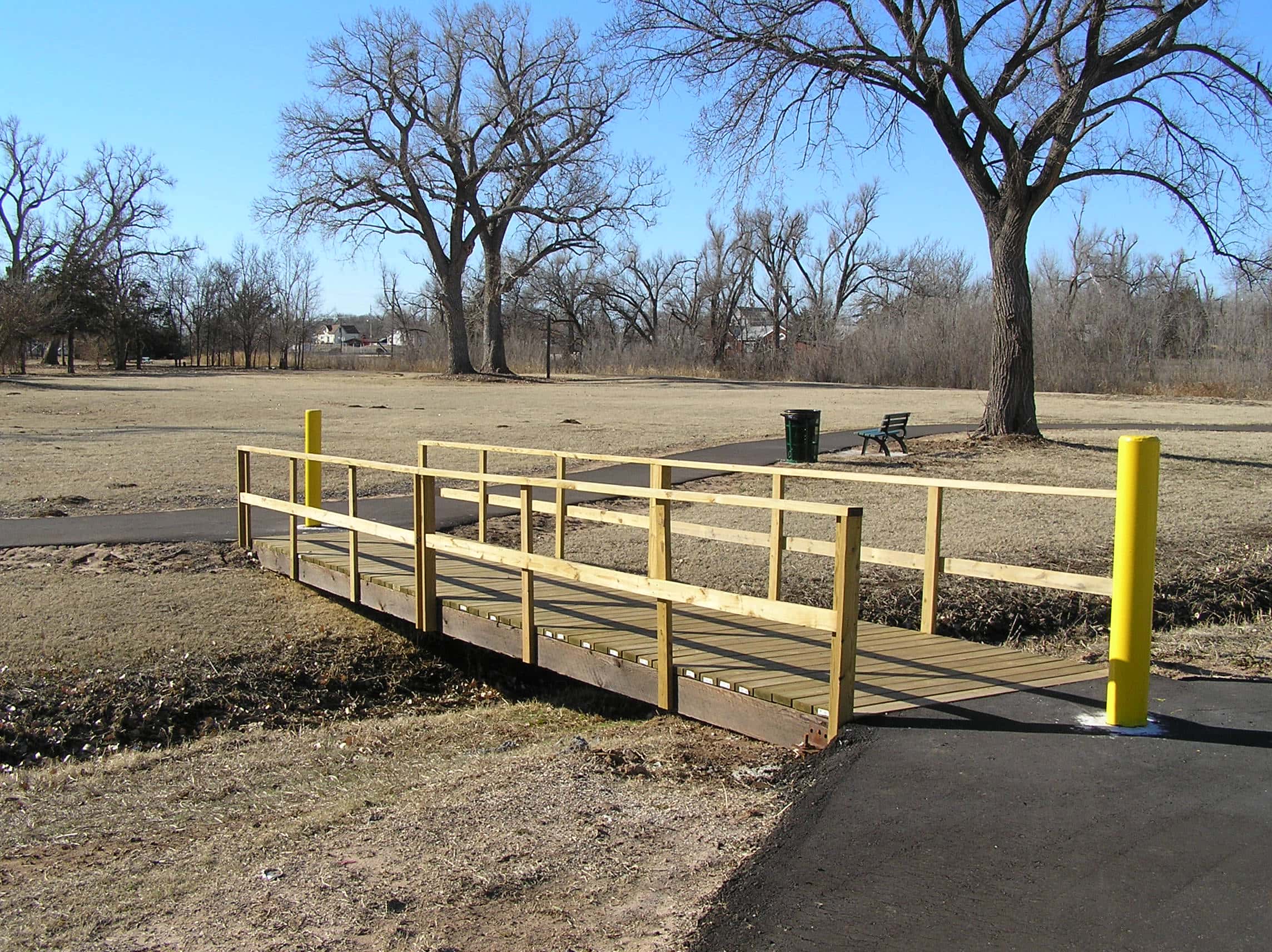
Today, people from all over town walk and bike there. Local volunteers have added plants and landscaped around the trail’s parking area. The historical society added signs sharing some important stories and photos from the town’s history. There’s also a new playground area for kids.
Without my map, those lots were just “lot and block” parcel numbers in a list with a bunch of other city properties. With the map and the conversations it informed, they were an asset and an opportunity. Today they’re a popular place for people in the community.
Keep shaping a better future for your town,
Becky
PS – If you’re serving as an official, board member or leader in your community, our latest video is for you.